
Midwest City ZIP Coverage Evidence
Official sources confirm several postal identifiers associated with Midwest City routing, but they do not publish a complete ZIP-polygon-to-city-limits map. The postal evidence below keeps its limits clear rather than inventing neighborhood coverage. Each target address still needs an address-level postal check and a separate municipal-boundary check.
| ZIP | Areas Covered | Post Office | Notes |
|---|---|---|---|
| 73110 | Primary Midwest City postal identifier found in official sources | Midwest City Post Office, 8275 E Reno; USPS displays Oklahoma City postal city | Verify the exact address and city limit |
| 73130 | Midwest City-area delivery context in official labels | No specific office confirmed in the source set | ZIP coverage is not a municipal-boundary finding |
| 73140 | Oklahoma City/Midwest City-area routing context | No specific office confirmed in the source set | Verified routing occurrence; check the address |
| 73145 | Tinker and Midwest City-area postal context | No specific office confirmed in the source set | Address-level validation is required |
| 73150 | SE Oklahoma City/Midwest City official label context | No specific office confirmed in the source set | Boundary-style label, not a city-limit definition |
The source set does not confirm 73020, 73117, or 73141 as Midwest City postal identifiers. Nor does it supply a historic realignment list, a ZIP-level resident count, or a complete official boundary table. Those gaps are important: a verified route label should not be expanded into a claim about every parcel it may serve.
Validate Midwest City Mail Delivery With USPS
The USPS postal lookup offers two useful routes: find a ZIP code from an address, or find addresses by ZIP. Use it to test the complete mailing address, including unit information when applicable, and retain the result only as postal validation. USPS cautions that an address result does not guarantee a business is physically at that location.
For postal research, the sequence is full address to USPS result, then city-limit review, then the appropriate county record. Do not begin with a five-digit code and infer a person, property relationship, neighborhood, or municipal jurisdiction from the route alone. The order keeps the result tied to what the postal tool actually confirms.
The USPS postal lookup is the official entry point for an address-to-ZIP or ZIP-to-address check.
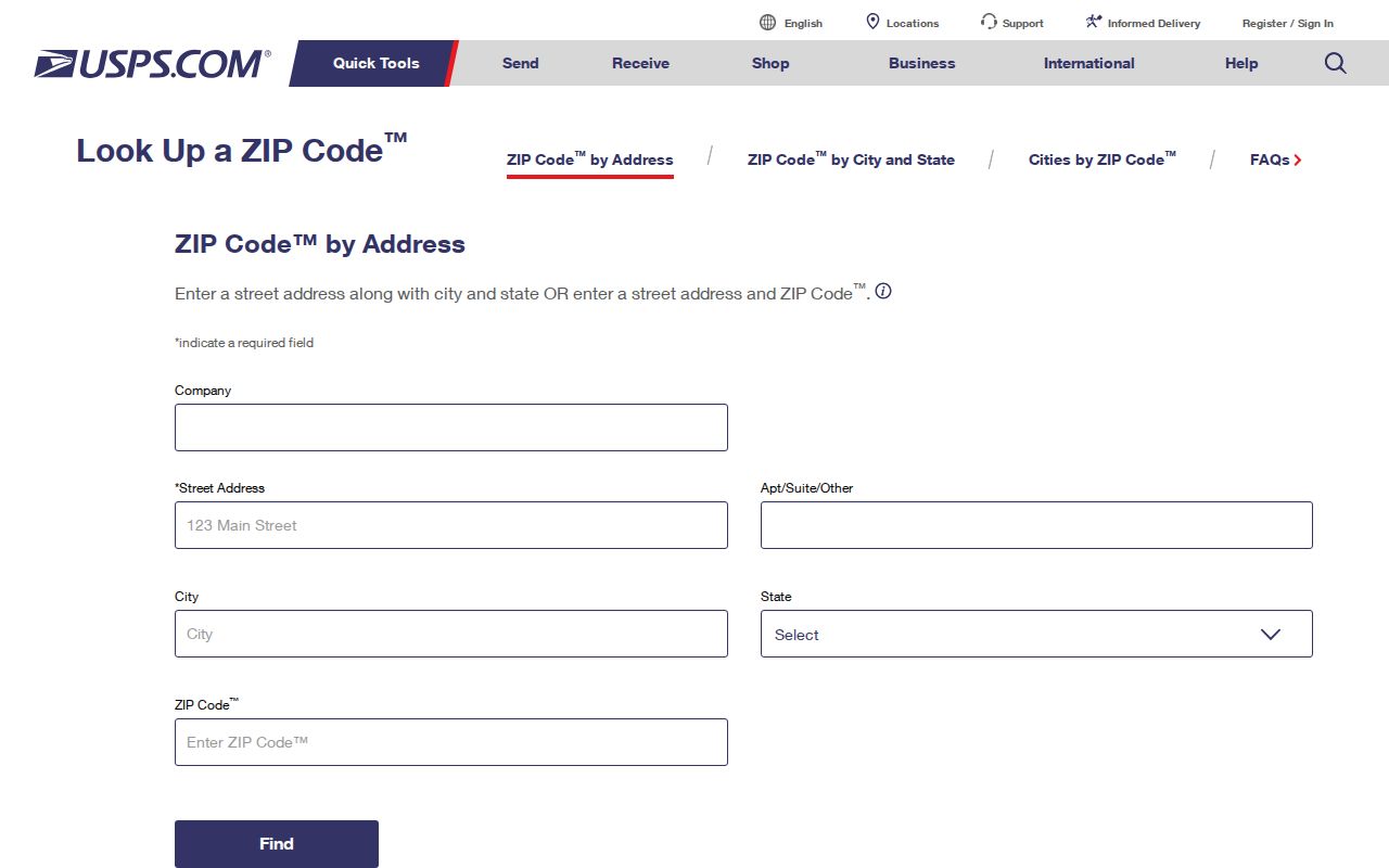
The USPS response establishes a postal presentation for the submitted address. Use the whole returned address and date as a check, then compare it with the municipal polygon rather than relying on the postal city name.
Midwest City City-Limit Query
The Midwest City OpenData city-limits query is the local source for a current municipal-boundary test. It is not a postal search and it does not supply a historic annexation record. Used after USPS validation, the service helps distinguish a Midwest City mailing label from a parcel that is actually within the city's legal limits.
The research captured these controls from the city-limits REST query. They show why the tool is a geometry and attribute query rather than a ZIP directory:
| Query control | What it can narrow |
|---|---|
| Where, text, and object IDs | Attribute-based feature selection when the relevant values are known |
| Time and geometry | Feature selection by available time value or submitted location geometry |
| Spatial relation, distance, and units | How the submitted geometry is compared with the city-limit feature |
| Out fields and return geometry | Which attributes and feature shape are returned for review |
| Pagination and statistics | How a larger query response can be structured or summarized |
Open the city-limits query service after a postal result has been recorded.
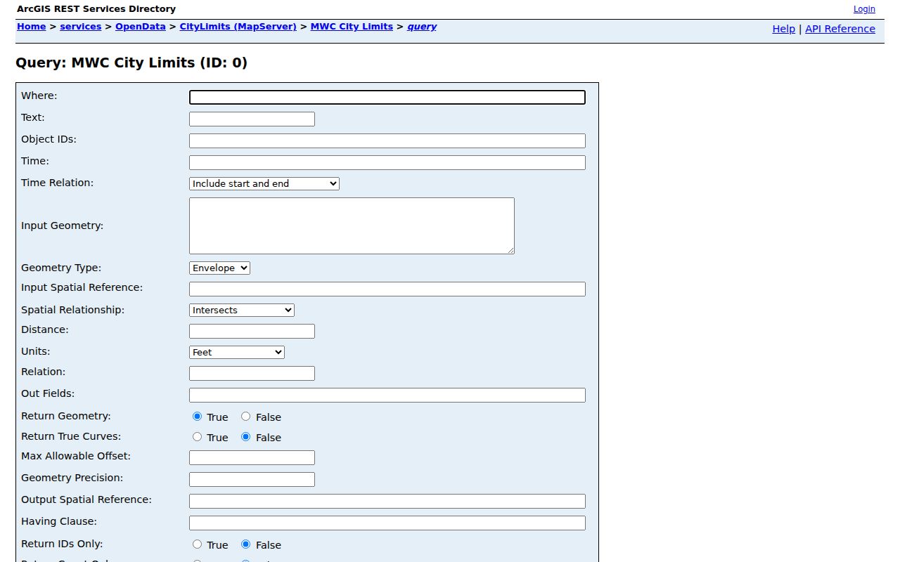
A current city-limit feature can answer a jurisdiction question for a location. It cannot turn a ZIP route into a complete map of who belongs to a city, and it should be paired with the current county parcel record when a property question remains.
The service publishes a current OpenData layer, but the research did not identify a publication date or a historical-boundary archive. Preserve the query date and the returned geometry or attributes when the exact municipal edge matters.
Midwest City ZIP Parcel Path
Once USPS and the city-limit layer have narrowed the address, the Oklahoma County Assessor search can be used by physical address, owner name, account, subdivision and block or lot, map number, deed book and page, or occupant or building name. The captured form does not establish a ZIP-filtered resident roll, so avoid claiming that one exists.
- Enter the precise mailing address in USPS and retain the postal form returned.
- Test the location against the Midwest City city-limits feature, especially near a neighboring jurisdiction.
- Search the county assessor by physical address or, when needed, parcel and legal-description clues.
- Label an assessor result as ownership, situs, billing, or mailing information rather than treating it as a resident roster.
After a ZIP has narrowed the inquiry to a street, the Midwest City street address directory gives the more detailed address-based path. The ZIP code is a routing clue; the parcel, source date, and legal description carry the property research forward.
Midwest City ZIP Voter Limits
The Oklahoma Voter Portal verifies one registration through first name, last name, date of birth, and its follow-up verification step. It can show status, polling place, districts, sample ballot, and update actions. It is not a postal-route search and does not establish that a person currently occupies a particular Midwest City address.
Oklahoma voter registration data includes name, address, affiliation, and polling place, but not telephone numbers or race, color, gender, or ethnic-origin fields. Registration and voter-history files use a separate State Election Board request path with terms of use; the research did not capture the current account-form fields. Keep any inquiry focused on the documented record and its date.
Midwest City ZIP Boundary Limits
Midwest City is contiguous with Oklahoma City, Del City, Spencer, Nicoma Park, and Choctaw. A street can cross or approach a jurisdiction edge while the county parcel system remains Oklahoma County. That makes postal city, city limit, and county record coverage three separate questions. The ODOT Midwest City map provides road and city-limit context, while the city layer is the current local boundary check.
The hosted Midwest City city-limits feature service supplies the related polygon-service route.
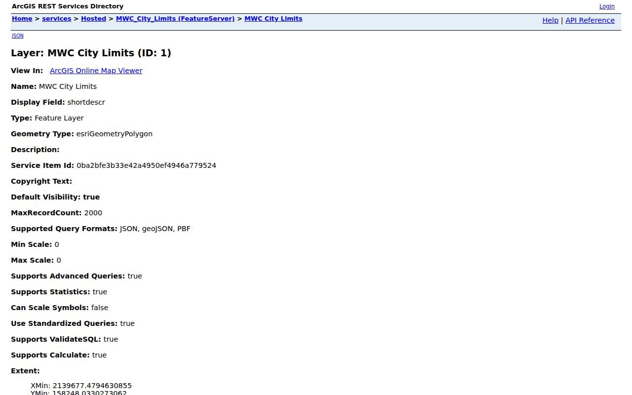
Use a current geometry result to determine municipal context, then describe the result as a boundary finding. A matching postal label alone cannot establish that an address is inside Midwest City or that every address in the ZIP shares the same jurisdiction.
The following terms keep postal research from claiming more than the postal system provides.
- ZIP versus ZIP+4
- The five-digit ZIP routes mail broadly; the four added digits narrow delivery further for a specific address or route. A ZIP+4 is not a neighborhood boundary.
- PO-box ZIP
- A ZIP assigned for post-office-box delivery rather than a statement about a surrounding residential area.
- Unique ZIP
- A ZIP used for a single organization or facility. It does not describe a general city district.
- Carrier route
- A postal delivery grouping used to organize mail. It is not a municipal boundary or a resident list.
Midwest City E Reno Postal City
The Midwest City Post Office is physically at 8275 E Reno Ave, but USPS displays it as Oklahoma City, OK 73110-9998. That local postal-city paradox is a useful reminder that a mailing city is a delivery convention, not proof of municipal location. The facility's 73110-9998 suffix applies to the post office context and should not be copied onto other addresses.
Official routing material also puts 73110, 73130, 73140, 73145, and 73150 in the Oklahoma City 73110 routing group. A second official ZIP-label source identifies 73110 and 73130 as Midwest City and 73150 as SE Oklahoma City/Midwest City. These labels support postal context only, so validate the exact target address before relying on a route label.
Tinker AFB in Midwest City Postal Context
Tinker Air Force Base has the postal context 73145-9998. Midwest City began in 1942 as a military-support community near Tinker, and the city's relationship to the base helps explain why military and regional postal vocabulary can appear alongside city addresses. It does not create a rule that every nearby 73145 address is within one municipality.
When researching a record around Tinker, use the exact postal address first, then the city-limit query and county parcel context. Terms such as Tinker, Air Depot, air base, E Reno, or Midwest Boulevard can help identify an archival or geographic lead, but a record should still be described by the custodian and role it actually shows.
Midwest City ZIP Evidence Limits
There is no official source in the research set for a complete historic Midwest City ZIP realignment, a city-boundary-derived ZIP list, or ZIP-level resident totals. The absence of that evidence means a carefully limited statement is more accurate than an apparent coverage map. Keep 73110, 73130, 73140, 73145, and 73150 in their verified postal contexts and leave other proposed ZIPs unconfirmed until USPS and address evidence support them.
A ZIP code can validate delivery format, and a city-limit layer can establish current municipal geography. Neither source proves a person's present residence, a property relationship, or a neighborhood affiliation. Record the query date, exact address or geometry, and the source's response so the next check can be reproduced without expanding the claim.
Use postal data with care. Keep address research lawful and narrow, and do not use a route label to target, harass, or expose anyone.