
Midwest City Neighbors: Block Sources
Start with the block rather than a named person. The county map and assessor card can identify a parcel, its situs, and the tax-account party shown for it. The Clerk can then supply recorded document context if it is needed. Community organizations add a neighborhood name and public contact route, not a household roster. Each source below has a different level of access and a different limit, which is why the relationship should be recorded precisely.
| Source | What it shows about a block | Access and boundary |
|---|---|---|
| Oklahoma County parcel viewer | Parcel geometry, roads, adjoining features, and county geography | Free viewer; map is not a legal survey |
| Oklahoma County Assessor | Situs, tax-account owner, mailing or billing field, PIN, legal description, and value | Free search; owner and mail recipient do not prove current presence |
| Oklahoma County Clerk ROD | Recorded parties, document type, legal description, recording date, book/page, instrument, or PID | Online search; recorded party is not automatically a neighbor resident |
| Oklahoma Voter Portal | Individual registration status, polling place, and districts | First name, last name, date of birth, and verification are required; not a block search |
| Midwest City associations | Neighborhood names, boundary clues, and public coordinator route | Nearly 30 groups are listed; no public membership list was located |
An adjacent-parcel owner, a public association contact, and an individual registration result describe three different relationships. Midwest City neighbor research stays useful when it does not convert any of them into an unverified claim that a person lives at an address.
Midwest City Neighbor Boundary Check
Check municipal geography before drawing a block around an address. Midwest City is contiguous with Oklahoma City, Del City, Spencer, Nicoma Park, and Choctaw, and a postal place name does not settle the city question. The Midwest City city-limits service provides a current municipal polygon through a REST query with geometry and attribute controls. It is useful for a current boundary decision, but it does not prove historic annexation dates or parcel ownership.
Then use the Oklahoma County parcel viewer to inspect the address and surrounding features. Capture the map extent, the layer used, road frontage, and whether each adjacent shape is a parcel, right-of-way, drainage tract, school, utility feature, business, or common area. At a corner, both frontage streets matter. At a cul-de-sac, a visual line alone does not establish adjacency.
Map before names. A neighborhood association can cross a city edge, and a ZIP can cover more than one municipality. The parcel layer and city-limit layer answer different parts of the block question.
Map Midwest City Neighbor Parcels
Use the same small sequence for each block. It begins with a location and works outward through adjoining parcel identifiers. Do not treat the map as a neighbor export. Its value is spatial: it shows where to look next and helps separate a true adjacent parcel from nearby land that is not part of the same residential block.
- Enter the exact address in the county parcel viewer and confirm the city-limit status with the Midwest City layer.
- Record the target parcel PIN, situs, legal-description section or lot, road frontage, and the date the map was checked.
- Select surrounding parcels one at a time. Note each adjacent PIN and whether the feature is a lot, common area, right-of-way, or another non-household feature.
- Open the corresponding assessor card for parcel context. Keep owner, situs, and mailing or billing fields in separate columns.
- Use the Recorder only where a recorded ownership question remains. Preserve document type and recording date, then stop at the relationship the record actually supports.
For a whole named street rather than the immediate block, use the Midwest City street directory to follow the broader address, PIN, GIS, and deed sequence. The block method stays narrower so an adjoining parcel does not become a claim about every address along the road.
Midwest City Neighbor Assessor Cards
The Oklahoma County Assessor search supplies the current parcel card for each identified lot. Its physical-address search normally requires a direction and supports a percent-sign wildcard for part of an address. It also offers owner, account, subdivision/block/lot, map-number, deed-book/page, and occupant or building-name paths. Owner names are entered last name first without punctuation or hyphens. Known account formats are R plus 9 digits for real property, P plus 7 for personal property, and C plus 7 to 10 for centrally assessed property.
The resulting card can show account and property type, situs, owner names, Parcel PIN, mailing or billing address, tax district, school system, acreage, value, legal description, and sales or deed history. Keep the situs distinct from tax mail. A billing address may belong to an owner, lender, management company, or former owner, while an exemption is a tax classification rather than a guarantee that a person is present at the property.
Use the assessor card to anchor the parcel, then compare the PIN and legal description with the map. This is stronger than matching only a street number, especially where an account is parented, split, combined, exempt, vacant, commercial, or represented chiefly by legal description.
Midwest City Neighbor Deed Checks
Use OKCC Online only when the county assessor card leaves a specific recorded-land question open. The Recorder of Deeds portal supports name, address, document type, book/page, instrument or PID, and advanced search paths, as well as plat and property-alert features. A legal description or parcel identifier is usually the better bridge when a street address has changed format or a subdivision/block/lot is more exact.
The index can identify grants, releases, mortgages, liens, easements, trusts, estates, and transfers. None of those labels proves a present neighbor relationship. A grantor may sign after leaving a property, and a grantee can be a trust, estate, or organization. Online images are unofficial and redacted where available, while official or certified copies have fees. The Clerk warns that newly recorded material can take time to appear online and that some document types may require another access route.
Midwest City Neighbor Associations
The city’s Neighborhood Associations list provides a local context layer after the parcel work is done. It identifies nearly 30 active associations and gives a coordinator route at 405-732-2281 for boundary, joining, or start-up questions. The names are useful search terms and neighborhood clues. They do not confirm that a parcel owner, person, or address belongs to an association.
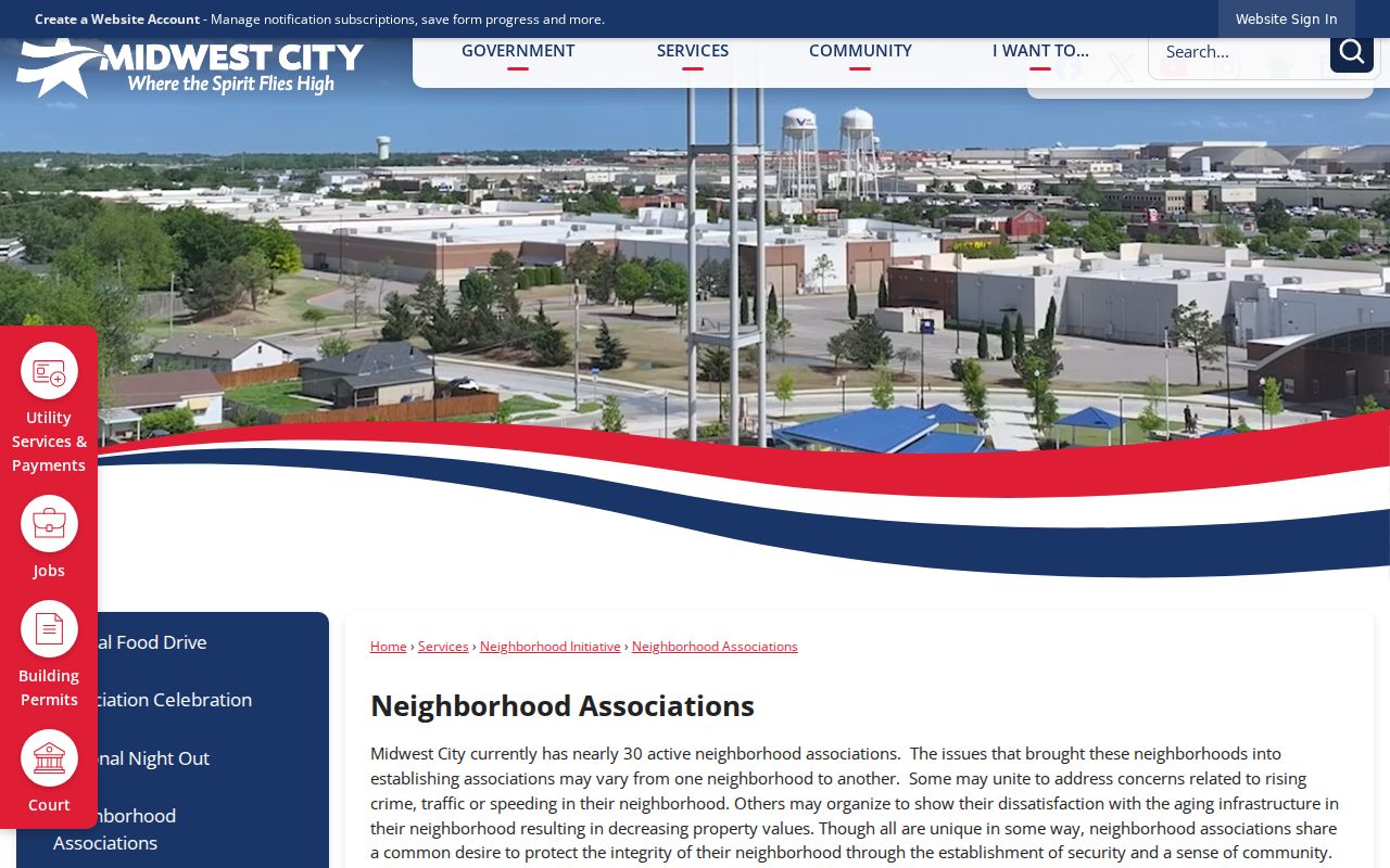
The city list includes Avalon Lakes Mill Creek Pond, Holman East and West, Homeland Estates Forest/Cassidy Cove, Original Mile, Quailridge, Rhapsody Heights/Willow Wind Estates, Ridgecrest, Royal Meadows, Stone Creek, Timbers, Turtlewood, and Windsong among its named micro-areas. Treat those names as public neighborhood context, not a member directory.
| Community resource | Public material | Proper block use |
|---|---|---|
| Midwest City association list | Association names and coordinator route | Identify a neighborhood and ask about public boundary or joining information |
| Eastwood | Map, declaration, bylaws, amenities, meeting details, and public contact | Use public neighborhood context without seeking a resident list |
| Olde Towne | PO box, public newsletters, bylaws, and member-only area | Use public material and leave member-only content private |
Midwest City Neighbor Community Boundaries
Eastwood shows how a public community resource can be useful without exposing private membership. The Eastwood public association material includes a declaration, bylaws, map, amenities, a public email, and a recurring meeting on the third Monday at Eastwood Baptist Church, 12251 E Reno Ave., at 7 p.m. Its resident portal is not a public neighbor list.
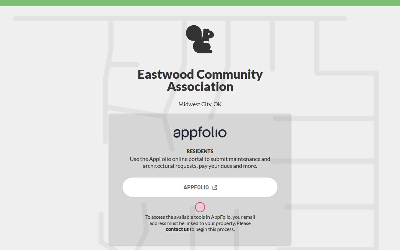
The public Eastwood material can help confirm an association’s identity or map language. It cannot establish that an individual lives at a parcel or belongs to the organization.
The Olde Towne public association material lists PO Box 50544, Midwest City, OK 73140 and separates newsletters and bylaws from member-only news. That visible distinction is part of the record: public documents can provide community history and contact context, while the members-only area is not a source for identifying Midwest City neighbors.
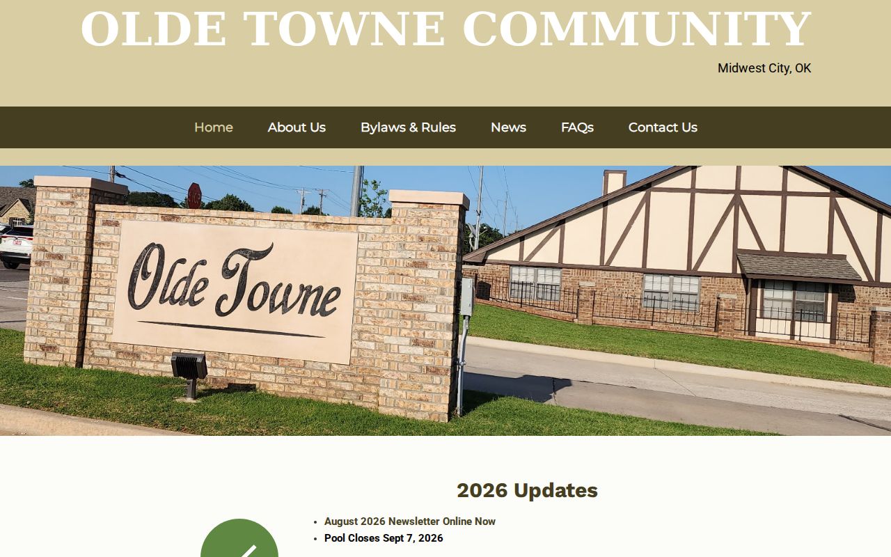
Keep the public and private boundary intact. A named neighborhood is helpful for a map query or archive search, but it remains a community label rather than proof about a household.
Midwest City Neighbor Block Context
City records can explain activity at a block without identifying residents. The Permits and Inspections route leads to Cityworks, where the stated workflow includes applications, attachments, review status, and parent-child links. Exact public field availability was not established, so it is not appropriate to promise that a name, application detail, or inspection history will appear for every address.
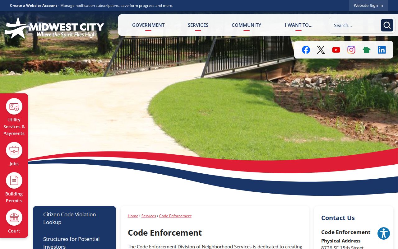
The Midwest City Code Enforcement route uses a location and the nature of a violation. A complaint can describe a site, not a person, and the research does not establish publication or redaction practices. Police and municipal records likewise may involve addresses and parties with limits. Use the custodian’s route for a specific, lawful request rather than treating municipal records as a block directory.
The Code Enforcement address route is a source for the municipal location process.
Official records identify a custodian, a record type, and an access limit. Commercial neighbor-lookup categories often combine data from unknown update dates and blur owner, mailing, and occupant relationships. Prefer the official source for the precise question, save the access date, and verify a result with the custodian when the distinction matters.
Midwest City Neighbor Lookup Limits
No official Midwest City source offers a complete public roster of who lives on a block. A parcel map identifies geography. An assessor card records a tax-account relationship. A deed index preserves a recorded transaction. The Oklahoma Voter Portal verifies an individual registration only after its required fields and does not prove occupancy. Association lists identify organizations, not members. A no-result is also not proof that a person or record does not exist.
Oklahoma’s Address Confidentiality Program supplies substitute addresses and mail forwarding for qualifying victims. A missing or substituted location is a safety measure. Do not try to discover it through parcel, deed, voter, social, or association sources. Keep public research limited to the source role that is needed and omit sensitive details that do not answer the stated question.
Lawful use. Midwest City neighbor research can support family connections, estate work, property curiosity, and civic awareness. Do not use any record, location, or community contact to stalk, harass, intimidate, discriminate against, or harm another person.